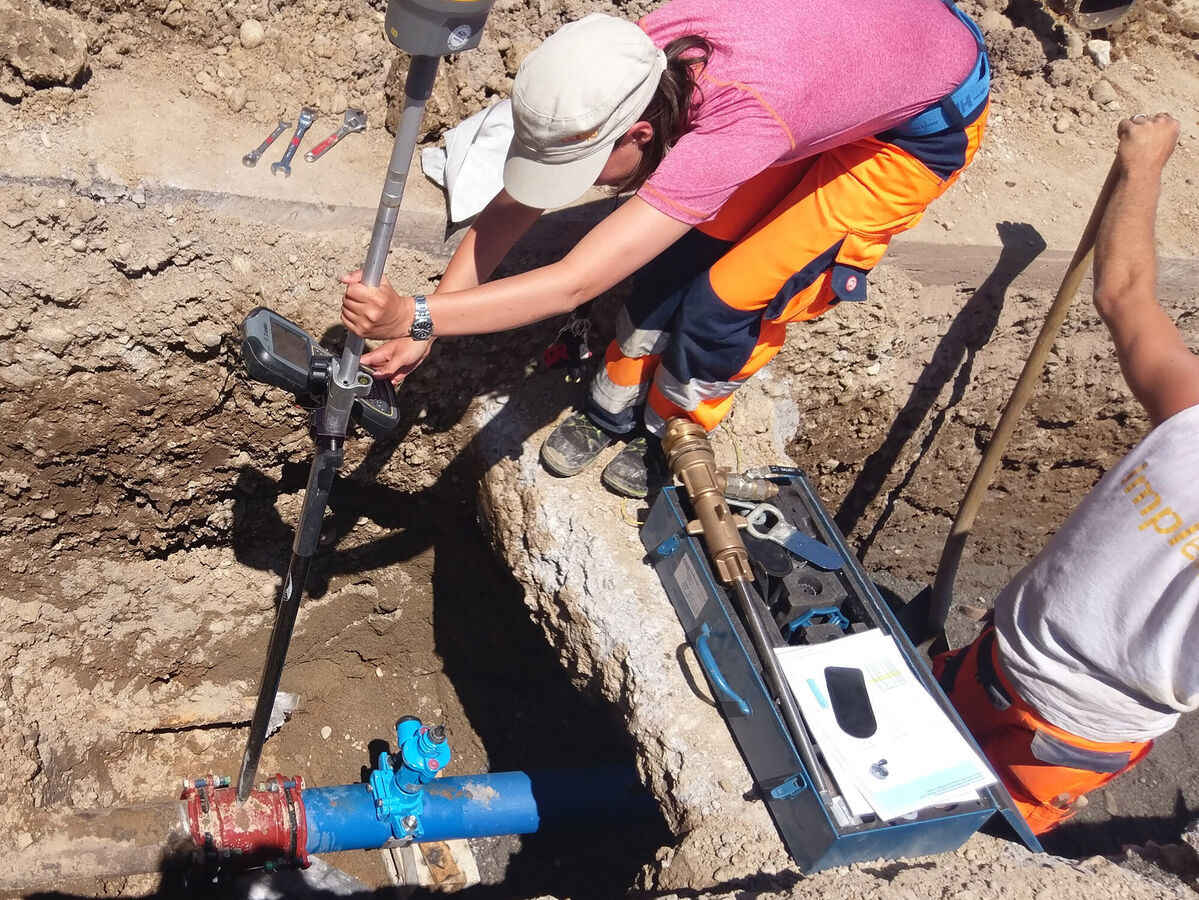
rmDATA experts have created a short video that shows how Swiss users in planning offices, municipalities and network operators implement pipeline documentation efficiently, safely and in compliance with regulations. The line cadastre production module is one of several production modules of the all-in-one rmDATA Geomatics platform.
What the line cadastre production module in the rmDATA Geomatik platform offers
The solution enables efficient management of the pipeline cadastre in accordance with SIA 405. It can be used flexibly - both for a selective inventory and for complete updating - and guarantees secure data storage, either locally or in the cloud.
Project areas support the parallel work of several participants and ensure structured processing.
Automated processes such as import, coding, labeling, comparative display, standard-compliant attribution with stored value lists and plan generation with a wide range of display functions speed up the process. Version security is guaranteed by hidden levels and controlled transfers.
What you can expect in the video
- Overview of the typical workflow in the line cadastre
- Automated processes: Import, coding, comparison
- Standard-compliant attribution with stored value lists
- Intelligent plan generation with a variety of displays
- Project structure for parallel work
- Secure storage: locally or in the Azure cloud