The long-standing, trusting exchange between rmDATA AG Switzerland and Amberg Infra 7D AG has led to an in-depth collaboration with the aim of significantly improving the digital data flow and user-friendliness for joint users. Both companies pursue a similar philosophy: to make customers more successful through powerful, practical software solutions.
Coordinated data exchange for maximum efficiency
A secure online connection enables rmDATA Geomatics and GEOvis will enable smooth data exchange between the systems in future. Thanks to coordinated interfaces, users benefit from an end-to-end digital workflow - from measurement to evaluation and visualization. Manual imports or exports are no longer necessary, making processes more efficient and less prone to errors.
Measurement data from a wide range of geodetic sensors can be processed and visualized precisely and conveniently in rmDATA Geomatik. GEOvis makes this data available at the click of a mouse - for seamless further processing and documentation.
Scalable solutions for geomatics and monitoring experts
The cloud-based monitoring software GEOvis enables the efficient monitoring and documentation of a wide range of construction projects - from standard applications to highly specialized monitoring tasks. In combination with the modular all-in-one solution rmDATA Geomatik, which combines CAD, GIS, geodetic calculations and digital terrain modeling, a powerful interaction is created for geomatics engineers, surveying engineers and geodata experts.
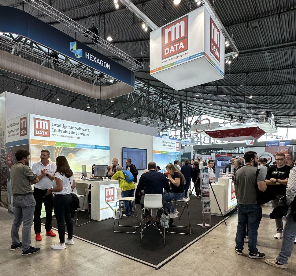
Premiere at the INTERGEO 2025
The extended software functionalities of rmDATA and Amberg Infra 7D will be officially presented for the first time at the INTERGEO 2025 in Frankfurt. The aim of the coordinated collaboration is to further improve the digital workflow in the field of geomonitoring.
Michael Buri from Amberg Infra 7D sees great potential in the interaction between the applications:
"Everything that concerns modern construction site monitoring can lead to online monitoring and digital documentation in the future."
He cites examples of areas of application such as permanent monitoring measurements, as-built documentation and other sensor integrations.
Michael Schulz from rmDATA AG adds:
"rmDATA is basically open to any form of collaboration - especially if it helps to sustainably improve our users' work processes."
The technical coordination with Amberg Infra 7D in the area of geomonitoring shows how flexible and capable of integration rmDATA Geomatik is. The solution stands for maximum accuracy, efficiency and independence - and can be combined with other systems in a variety of ways.
Visit rmDATA GmbH and Amberg Infra 7D AG at INTERGEO 2025 in Frankfurt:
- rmDATA GmbH: Hall 12, Stand 1B075
- Amberg Infra 7D AG: Hall 12, Stand 1A043