rmDATA Geomatics
The all-in-one software solution for surveying and geomatics
Jetzt Software konfigurieren
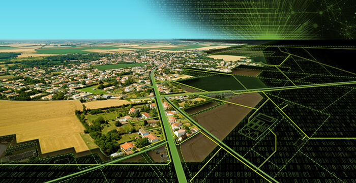
rmDATA Geomatik is an innovative and powerful geomatics software for surveyors, geomatics engineers and experts in the field of geodata. The platform combines all functions from CAD, GIS, geodetic calculations and digital terrain modeling in a single, modular solution. Users benefit from an intuitive user interface and an end-to-end workflow - from the acquisition of measurement data to the finished result.
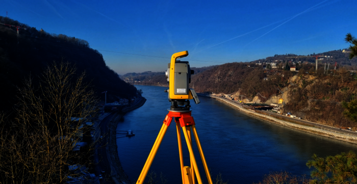
The software covers all areas of surveying, including construction surveying, engineering surveying, cadastral surveying (official surveying) and line cadastre. rmDATA Geomatik enables precise and efficient processing of all surveying and geomatics tasks - without any additional basic software such as AutoCAD, BricsCAD or Esri. The integrated production modules ensure significant time savings and increase productivity in day-to-day work.
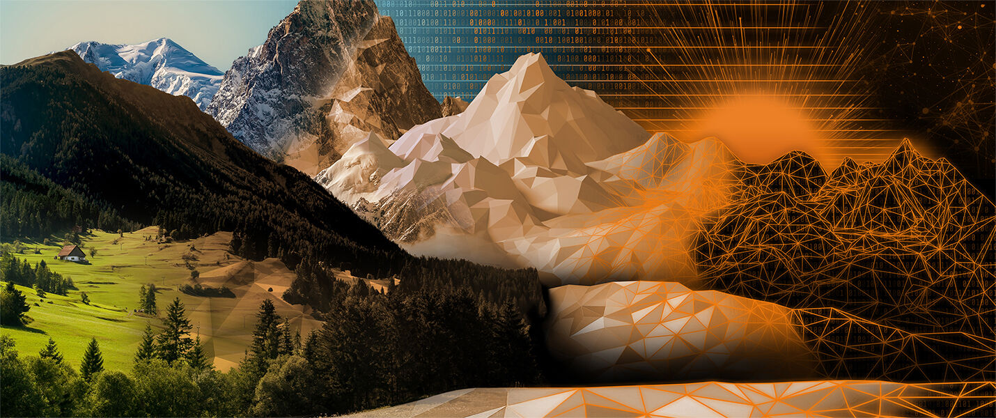
With rmDATA Geomatik, users can rely on a flexible and future-proof solution that has been specially developed to meet the requirements of modern surveying and geodata processing. The software stands for maximum accuracy, efficiency and independence - ideal for companies, authorities and service providers in the field of surveying and geoinformation.

CAD functionality
...for creating plans and geodata

GEO functionality
...for calculating survey points

DTM functionality
...for creating terrain model plans and analyses

Interfaces
…for easy import and export of data

GIS functionality
...for working with areas and GIS objects

Connections
...for displaying supplementary data sets from files or web services

The geomatics software from rmDATA helps surveyors, geomatics engineers and experts in the field of geodata to sustainably increase their productivity. Intelligent object structures and topologies enable error-free data acquisition and ensure consistent results. Thanks to open data storage in powerful geodatabases, geodata can be managed efficiently and processed flexibly.
Extension modules for specific requirements offer additional functionality and make rmDATA Geomatik the ideal solution for a wide range of applications. Sophisticated production modules and automated workflows accelerate the entire work process - from measurement to final evaluation - and increase efficiency in day-to-day business. The software is fully configurable and can be customized through scripting.
As a smart client, rmDATA Geomatik is available anytime and anywhere - whether in the office, in the field or at home. An intuitive user interface, automatic updates and professional support during implementation ensure smooth integration into existing workflows. rmDATA Geomatik is available in multiple languages and supports German, French and Italian - for use in multilingual teams and international projects.
Production modules
...for a quick start and the right deliveries
Automatic point calculations
...for quick calculation of all survey points
Combination of CAD & GIS
...for more possibilities when editing
Automatic text cropping
...for correct positioning of all texts with a click of the mouse

Objects & Topologies
...for the error-free creation of geodata and plans

Configurations and scripting
...for quick adaptation to your individual requirements
Software that grows with you
rmDATA Geomatik is a modern software-as-a-service solution that adapts flexibly to your requirements and grows with your company. Thanks to a value-oriented and transparent pricing model, you always retain full control over your costs and only pay for the services you actually use. The solution can be configured individually: You choose the platform that best suits your tasks and expand it with additional functions as required. Specialized production modules and platform extensions support your work processes. The result is a tailor-made solution that adapts to your requirements - clear, fair and future-proof.

rmDATA software is easy to use. But we are always there for you.
rmDATA Geomatik is intuitive and easy to use - without a long training period. And if you do have any questions, we are always there for you. We will accompany you personally, competently and reliably every step of the way - from the first project to daily use.


See how customers who use rmDATA geomatics become more successful.
Find out how companies and organizations successfully use rmDATA Geomatik in their surveying and geodata projects.
Our customers report how they use the software to increase their efficiency, optimize work processes and achieve project goals faster and more reliably. Here is a small selection, but there are more success stories.
Complex construction site, high demands
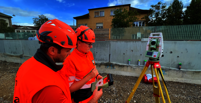
Efficiency counts on the construction site—the surveying team at Implenia ensures accurate project data with software from rmDATA.
Quality must take precedence over quick profits
Surveyor Rudolf Schöffmann from Leonding in Upper Austria solves demanding surveying challenges.
Stadtgrundkarte führen mit rmDATA-Software
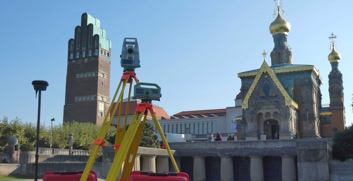
Für das Führen der umfangreichen Stadtgrundkarte in der Wissenschaftsstadt Darmstadt bietet rmDATA mit seinen Produkten eine optimale Lösung.
Strong alone, even better together
rmDATA Geomatik unfolds its full potential not only as a powerful stand-alone solution - but especially in combination with other rmDATA products. Thanks to seamless integration and coordinated workflows, you benefit from an end-to-end system that optimally supports your tasks and further increases your efficiency.