rmDATA information systems
Solutions for infrastructure management, land management, and municipal management

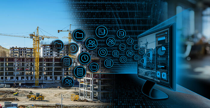
rmDATA Info is the central software platform for infrastructure management, land management and municipal management. It combines planning, documentation, analysis and operational control in a single system - either in the secure cloud or in your own data center. This allows you to create a sustainable basis for digital processes and data-based decisions.
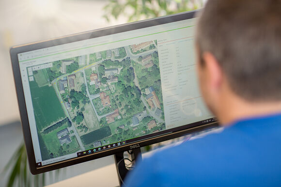
Users have direct access to GIS, CAD and raster data as well as web services - all in a browser-based, interactive map. This allows geodata to be efficiently visualized, edited and updated without additional basic software such as Esri, MapInfo or Hexagon. External planning data is integrated via drag & drop, while automated workflows and analysis functions increase productivity and data quality.
rmDATA Info supports the entire life cycle of your infrastructures: from planning and documentation to maintenance and servicing. Reports, lists and dashboards provide transparent key figures and a basis for decision-making.
In a data-driven world, rmDATA Info creates the basis for efficient, secure and traceable work processes. You maintain an overview of tasks, resources and responsibilities at all times - and at the same time increase transparency, planning reliability and cost-effectiveness.
Municipal geodata
...for the central management and digital documentation of all municipal infrastructure

Telecommunications networks
…for the planning and operation of coaxial and fiber optic networks (FO)

Water and wastewater networks
...for efficient planning, maintenance, and legally compliant documentation of pipe networks

Transport networks
…for the digital recording and management of roads, railways, and cable cars

Power grids
…for secure grid management and transparent administration of supply lines

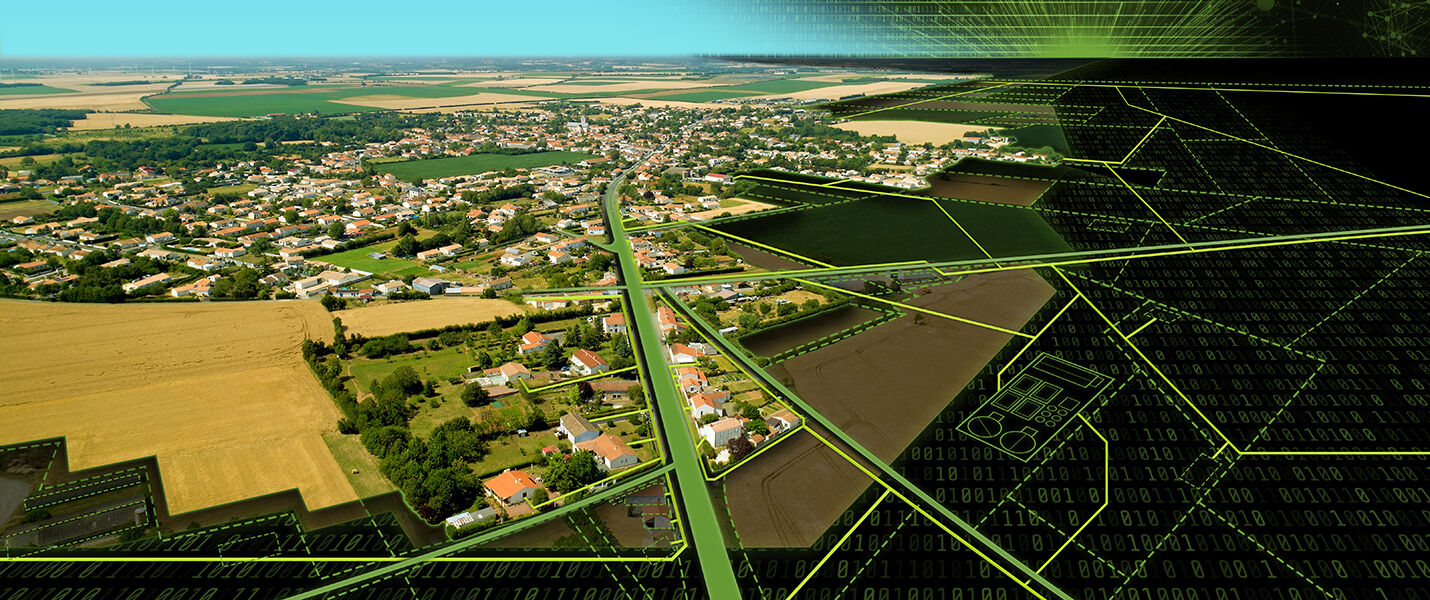
Land parcels
…for an overview of real estate, rights of way, and leased land in a centralized system
With rmDATA Info, you can utilize the full potential of your data. You accelerate processes, reduce interface losses and optimize decisions based on precise, up-to-date information. All relevant functions - analysis, visualization, processing - are integrated in one platform and can therefore be controlled centrally.
Up-to-date and accurate data forms the basis for every investment. Integrated analysis functions provide clear insights, while professional output tools ensure reliable dissemination to internal and external partners. The quality management system ensures compliance with all relevant norms and standards.
In addition, mobile modules enable location-independent task management including maps, checklists and photo documentation. Satellite-supported recording and staking out ensure maximum accuracy in the field.
Integrated document and task management allows you to control work processes transparently and efficiently. Thanks to modern interfaces, rmDATA Info can be seamlessly integrated into existing system landscapes. Sophisticated user and role management ensures comprehensive security and data protection at all levels.

Industry solutions
… for a quick start with preconfigured models and proven best practices.

Integrated maps & dashboards
…for visual representation and easy analysis of all objects.
Intuitive use
… for quick start-up and productive work—without lengthy training sessions.
Task & maintenance management
…for efficient planning, complete documentation, and legally compliant records.

Web and mobile access
…for location-independent data collection and flexible field work.
Flexible integration & scalability
… for customization, open standards, and future-proof enhancements.
Software that grows with you
rmDATA Info is a comprehensive solution based on modern software-as-a-service technology. Our industry-specific applications are precisely tailored to the requirements of our customers and can be individually extended for special tasks. Thanks to a value-oriented and transparent pricing model, you retain full control over your costs at all times - you only pay for the services you actually use.
Municipalities & Cities

[Jetzt Software konfigurieren]
Utility associations & municipal utilities

[Jetzt Software konfigurieren]
Mountain railway operator

[Jetzt Software konfigurieren]
Telecom company

[Jetzt Software konfigurieren]
Property management

[Jetzt Software konfigurieren]
Right of way management

[Jetzt Software konfigurieren]
GIS and infrastructure management

[Jetzt Software konfigurieren]
The solutions from rmDATA Info are easy to use. But we are always there for you.
rmDATA Info is intuitive and easy to use - without a long training period. And if you do have any questions, we are always there for you. We will accompany you personally, competently and reliably every step of the way - from the first project to daily use.


See how customers who use rmDATA Info become more successful.
Find out how companies and organizations are successfully using the complete rmDATA Info solution in their geodata projects.
Our customers report on how they are using the software to increase their efficiency, optimize work processes and achieve project goals faster and more reliably. Here is a small selection, but there are more success stories.
Successful networking with rmDATA Smart Networx

Schaffelhofer GmbH relies on rmDATA Smart Networx for planning, building, and operating its telecommunications network.
Hochneukirchen municipality works cost-effectively

Staking out, measuring, providing information: rmDATA Smart Infra secures long-term knowledge about infrastructure and helps to avoid unnecessary investments.
Digital efficiency in the ski resort
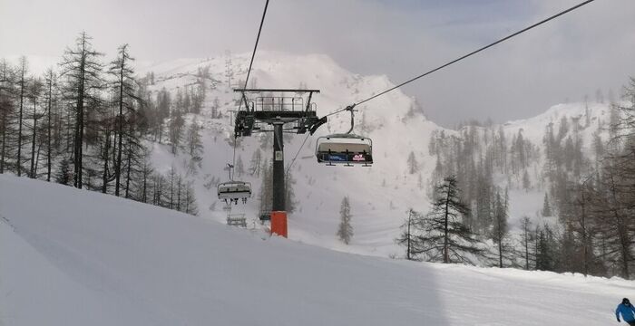
The Tauplitz mountain railways impressively demonstrate how digital innovation and practical software applications can work together perfectly.
Strong alone, even better together
rmDATA Info unfolds its full potential not only as a powerful stand-alone solution - but especially in combination with other rmDATA products. Thanks to seamless integration and coordinated workflows, you benefit from an end-to-end system that optimally supports your tasks and further increases your efficiency.